The United States started developing a Global Positioning System (GPS) in the early 1970s for satellite navigation and launched its Navigation System with Timing and Ranging (NAVSTAR) satellite in 1978(1).
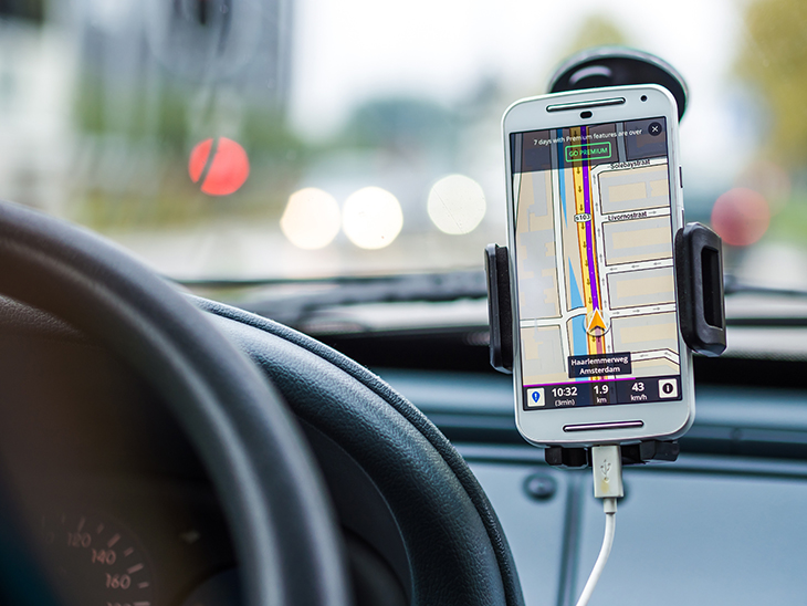
Today’s GPS applications include mapping and surveying, aircraft navigation, and car theft prevention. An effective wireless local area network can provide precise GPS location data to mobile devices. If you’re interested to know more about this, check out cisco cloud security.
A revolution of geographic science and technologies is transforming all sectors of the global economy and governments. The geospatial community, business world, and federal agencies will focus on new and emerging technologies during the next decade.
Read on to discover some of the technology trends that will undergo new geospatial development and applications in key sectors of Geographic Information Systems (GIS) and geospatial development.
General Trends Driving New Geospatial Technologies
Here are some of the main technology trends that are enabling, impacting, and driving new geospatial technologies:
Real-time Spatiotemporal Data Creation and Interaction
The creation of spatiotemporal (space/time) data is common in research and commerce. Real-time creation and interaction of such data is a new development(2).
The real-time space–time interactive functionality is the main process triggering the explosion of geographic research initiatives and fused spatiotemporal data(3).
The interactive feature provides several mobile geospatial applications in societal, business, and governmental sectors. Geospatial data is involved in aspects of the retail industry ranging from site selection to customer delivery.
Miniaturized and Lower-Cost Geospatial Technologies
These technologies have produced small and frequently inexpensive sensors, devices, and wireless connectivity that’s fueling the surge of the Internet of Things (IoT).
For example, consider that 13.6% of all U.S. sales for Q1 2021 were through e-commerce(4).
Smaller and cheaper sensors increase the quantity of data collection conducted based on how, where, and when the data is collected. Companies can produce customized sensors that suit specific data collection needs.
Expansion of New Geospatial Sensor Platforms for Mobile Devices
The fast miniaturization of technologies makes it practical to develop new methods of sensor distribution, like unmanned aircraft systems (UAS) or “drones” and small satellites (smallsats)(5).
Such geospatial sensor platforms expand the ability of governments, businesses, and individuals to collect large amounts of remotely collected data for a wide range of purposes.
For example, in the retail sector, GIS can help protect shoppers in low-density areas by providing real-time data about possible community threats and hazards.
Expansion of Web and Wireless Networks
The creation of large amounts of real-time spatiotemporal data resulted from expanded data collection methods and improved data transmission and distribution.
These results are due to emerging new web and wireless networks. In countries like the United States, with nearly 90% of the population online(6), such networks can make online retailers more accessible to potential consumers.
Improved Computing Capacity and Speed for Geospatial Applications
High-performance computing networks and cloud computing services provide channels to access and contribute to collections of geospatial services, tools, and data. This feature is available in business sectors like retailers in low-density regions.
Emerging Technologies in the Geospatial Landscape of Federal Agencies
Here are some ways the above-mentioned general trends are being used in the federal agency geospatial landscape.
Data Collection and Generation
This category includes technologies that allow for(7):
- Collection or processing of spatial and spatiotemporal data
- Introduction of new data types
- Major implications for data use and delivery
These concepts include the impact on current or potential standards, data privacy and confidentiality, real-time data creation and use, and large data sets created using these new technologies(8).
For example, the Federal Trade Commission (FTC) releases yearly data based on collected public-provided reports, which includes consumer problems such as identity theft and online fraud(9).
Such data collection can provide consumer protection in the retail sector from deceptive and fraudulent online retailers(10).
Meanwhile, the United States Department of Labor (DOL) can also use emerging geospatial technologies to collect and share enormous data sets about the labor force in the retail market, for example.
Data Analytics
Data analytics includes new methods or technologies to support the analysis of large and small amounts of data, multi-dimensional data, and spatiotemporal data(11).
The technologies include systems such as human (guided and autonomous), artificial intelligence (AI), and machine learning.
Technology and Data Access
This category involves the diffusion of data and technologies facilitated through access improvements. Some examples include changes in internet access and wireless systems.
Upgrades to web connectivity and mobile systems are closely connected to issues like cybersecurity for online retailers. Due to increasing revenue through online retailers, the federal government has a greater role in protecting online shoppers.
Infrastructure
New technologies involve new infrastructure that’s required to support various processes of data and systems, including:
- Collection
- Processing
- Storage
- Protection
- Sharing
Workforce
Alterations to the technology landscape require an awareness of critical technology skills and spatial thinking necessary for future spatial analysts.
Certain federal entities that use such technical skills for working closely with the retail sector include:
- S. Department of Labor (DOL)
- Federal Trade Commission (FTC)
- S. Department of Homeland Security
Summary
Data generation, miniaturized technologies, and wireless networks are some of the most promising new or emerging geospatial technologies. They offer several possible applications for low-density regions, the retail sector, and governmental agencies.
References
- Global positioning system history
https://www.nasa.gov/directorates/heo/scan/communications/policy/GPS_History.htm
- Emerging technologies and the geospatial landscape
https://www.fgdc.gov/ngac/meetings/dec-2016/ngac-paper-emerging-technologies-and-the.pdf
- Ibid.
- US census bureau news
https://www.census.gov/retail/mrts/www/data/pdf/ec_current.pdfl
- Emerging technologies and the geospatial landscape
https://www.fgdc.gov/ngac/meetings/dec-2016/ngac-paper-emerging-technologies-and-the.pdf
- Individuals using the internet
https://data.worldbank.org/indicator/IT.NET.USER.ZS
- Emerging technologies and the geospatial landscape
https://www.fgdc.gov/ngac/meetings/dec-2016/ngac-paper-emerging-technologies-and-the.pdf
- ibid.
- Data and visualizations
https://www.ftc.gov/enforcement/data-visualizations
- What we do
https://www.ftc.gov/about-ftc/what-we-do
- Emerging technologies and the geospatial landscape https://www.fgdc.gov/ngac/meetings/dec-2016/ngac-paper-emerging-technologies-and-the.pdf